 Skip to content
Hydrographic Survey and Design Verification for the New Southern Barge Ramp
How QOffshore converted shallow-water and tidal constraints into decision-ready engineering
evidence for Tailored Spatial Solutions.
CLIENT
Tailored Spatial
Solutions
LOCATION
Chinaman Creek, Cairns,
QLD
FIELD SURVEY
QOFFSHORE ROLE
SERVICE
PRIMARY SYSTEM
NORBIT iWBMS Tx +
GNSS/INS
PROCESSING
OUTPUTS
The client issue
The practical question
Had the required design levels been achieved, and were any local shallow areas still requiring attention?
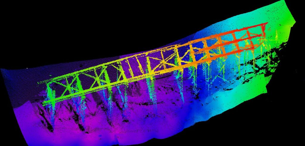

The survey challenge
What QOffshore provided
Mobilise and verify
Measure vessel offsets, complete position checks and confirm the survey control.
Acquire and calibrate
Run MBES survey lines, complete patch testing and monitor quality and coverage in real time.
Process and integrate
Clean and validate bathymetry, align LiDAR and generate a high-fidelity seabed model.
Compare and report
Create the difference grid, volume calculations, six longitudinal profiles and final charts.
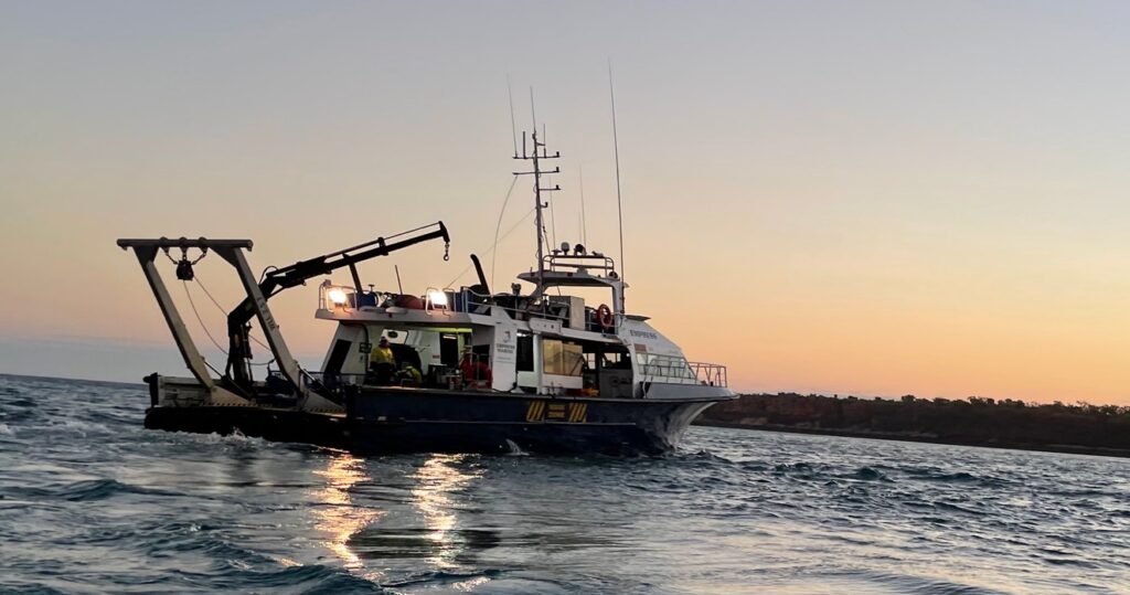
What QOffshore provided
Mobilise and verify
Measure vessel offsets, complete position checks and confirm the survey control.
Acquire and calibrate
Run MBES survey lines, complete patch testing and monitor quality and coverage in real time.
Process and integrate
Clean and validate bathymetry, align LiDAR and generate a high-fidelity seabed model.
Compare and report
Create the difference grid, volume calculations, six longitudinal profiles and final charts.

The survey challenge
Measurable results
25,615 m²
Total surveyed area
16.5 million
Accepted soundings
0.134 m
Reported uncertainty
492.02 m²
Area below design
- Design comparison footprint 493.13 m²
- Area above the design surface 1.11 m²
- Volume above the design reference 0.03 m³
- Average difference 0.51 m below the design surface
- Local exceptions Two isolated patches, up to approximately 0.13 m above design
