Hydrospatial Consultancy

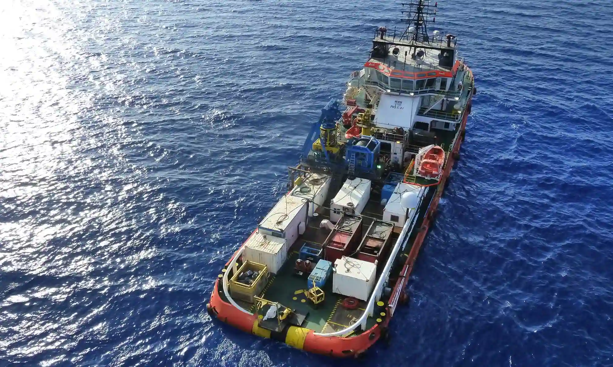
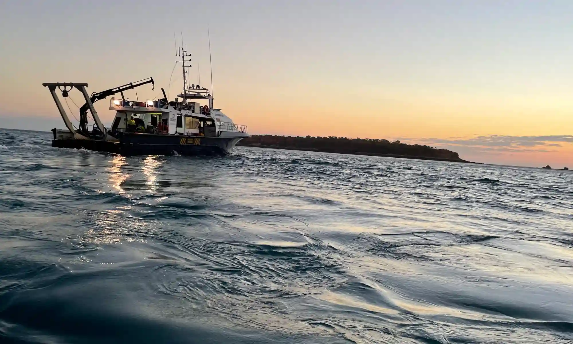
Subsea & Hydrospatial Consultancy

Hydrospatial Consultancy

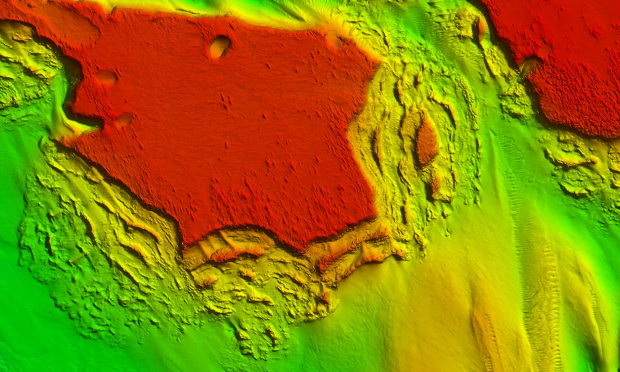
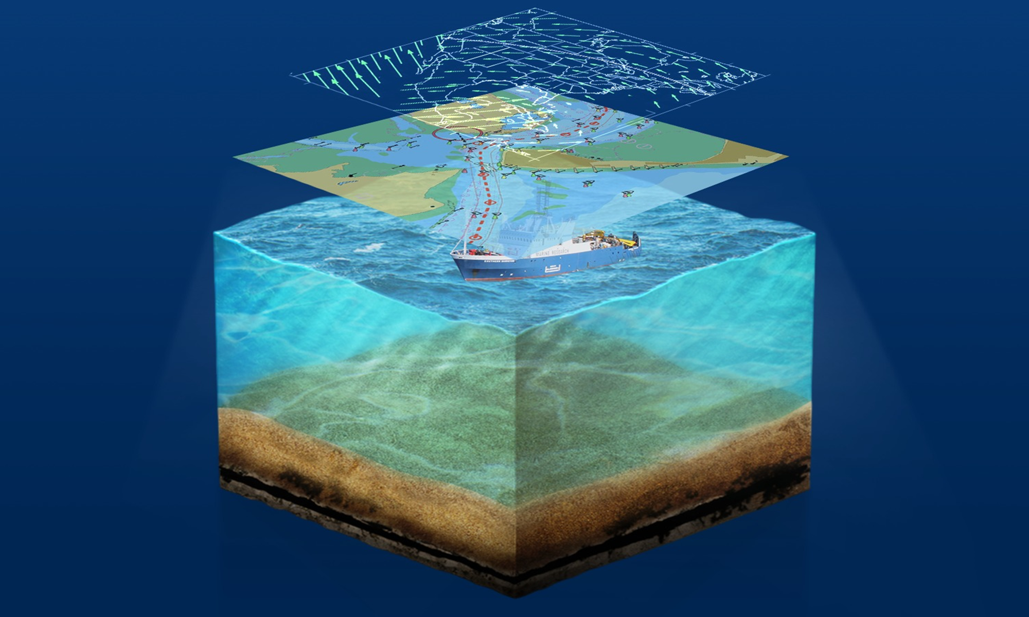
We provide cutting-edge hydrospatial consultancy services tailored to the evolving needs of the offshore industry, supporting sectors such as offshore wind, oil & gas, and marine infrastructure development Leveraging our in-house online platform, we offer real-time tracking, monitoring, and control of offshore operations, ensuring our clients have seamless access to critical data that drives efficiency, safety, and informed decision-making.

Our team of highly skilled hydrographic surveyors and offshore experts specializes in marine site investigations, geoscience, subsea installations, and desktop studies. Whether it’s seabed characterization for offshore wind farms, geospatial analysis for oil & gas operations, or precision-driven hydrographic surveys, Qoffshore delivers expert insights and innovative solutions to support complex offshore projects.

By integrating advanced data analytics, remote monitoring capabilities, and hydrospatial intelligence, we empower our clients with comprehensive situational awareness, reducing operational risks and enhancing project efficiency. Our expertise extends across the full lifecycle of offshore developments.

With a deep understanding of the offshore environment and the latest industry standards, Qoffshore is your trusted partner in achieving operational excellence in the offshore industry. Whether you’re a renewable energy developer, oil & gas operator, or marine infrastructure stakeholder, our hydrospatial solutions are designed to help you meet your project objectives with precision, reliability, and sustainability.

Qoffshore supports its clients with Qmap, a fully in-house designed real-time monitoring tool that offers offshore operators unparalleled visibility and control over their assets. With cutting-edge technology, Qmap seamlessly integrates vessel tracking, wind data, and geospatial mapping, delivering a powerful yet intuitive interface for monitoring offshore operations with ease.

QMap Qoffshore

Qmap

Qmap is Qoffshore’s innovative web-based mapping and data visualization platform designed to support hydrographic, geospatial, and marine projects. Built on the latest web technologies, Qmap provides an intuitive and interactive interface for professionals to explore, analyze, and interpret hydrospatial data with ease.

Scroll to Top